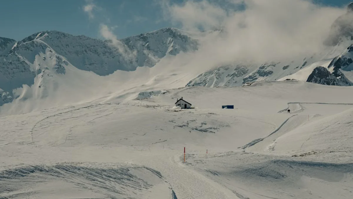
As autumn progresses, long-range weather forecasters and climatologists have released their preliminary outlooks for the Winter 2026-2027 season across the United States. Driven by shifting ocean temperatures, La Niña and El Niño phase indicators, and historical atmospheric pressure trends, the early predictions suggest a diverse winter landscape for different regions of the country.
According to initial models from meteorological institutes, the Pacific Northwest and the Upper Midwest could experience above-average snowfall, fueled by an active northern jet stream. Conversely, parts of the southern United States and the Mid-Atlantic may see milder conditions with below-average accumulation, though sudden stratospheric warming events could still introduce late-season winter storms.

Energy markets, municipal transportation departments, and agricultural sectors are already reviewing these long-range forecasts to prepare for potential heating demand fluctuations and snow-removal resource allocation. While long-range winter forecasting carries inherent uncertainties, early preparation helps communities mitigate weather-related disruptions.
Experts emphasize that these models will be continuously updated as atmospheric conditions solidify in the coming months, providing more precise regional warnings as the winter season approaches.
Key Highlights
- Early Winter 2026-2027 US snow forecasts released by meteorologists.
- Potential for above-average snowfall in the Pacific Northwest and Upper Midwest.
- Milder conditions projected for parts of the South and Mid-Atlantic.
Proactive monitoring of seasonal climate drivers remains essential for effective emergency preparedness and infrastructure management.