
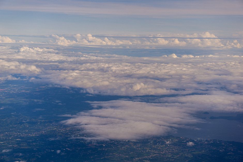
From hundreds of kilometers above the surface of our planet, the Earth often reveals artistic wonders that leave even seasoned astronauts spellbound. NASA astronaut Jessica Meir recently shared a breathtaking series of photographs taken from the International Space Station (ISS), highlighting the dramatic and rugged terrain of Patagonia at the southern tip of South America. Floating roughly 400 kilometers above the planet, Meir captured the vast geographical expanse, describing it as an extraordinary masterpiece crafted by nature itself.
The orbital perspective highlights the dramatic convergence of jagged Andean peaks, vast continental ice sheets, and brilliant turquoise glacial lakes. Shared across digital platforms, the images immediately captured widespread international attention, illustrating the grandeur of one of Earth's most remote and untamed wilderness regions.
A Spectacular View from 400 Kilometers Above
The International Space Station provides a distinctive observation platform for monitoring Earth's dynamic systems. Astronauts regularly document natural landscapes through the station's specialized Cupola module, a seven-window observation dome designed for scientific observation and tracking visiting spacecraft. During a pass over the southern cone of South America, remarkably cloud-free atmospheric conditions provided pristine visibility across the Patagonian landscape, spanning both Chilean and Argentine territories.
Meir expressed her awe at the crisp textures of mountain ridges and ice fields seen against the backdrop of deep blue water bodies. High above political borders and urban sprawl, the planet's raw geology stands out in sharp relief, reminding observers of the immense scale of natural formations.
"Gazing down at Earth from orbit permanently alters your worldview. As we passed over Patagonia, the interplay of snow, ice, and turquoise water looked like an intricate canvas painted by nature. It is truly impossible to describe adequately in words." — Jessica Meir, NASA Astronaut
The Geological Wonders of Patagonia
Patagonia is internationally renowned for hosting some of the most dynamic glaciated ecosystems outside the polar realms. The Southern Patagonian Ice Field represents the third-largest continental ice mass on Earth, trailing only the ice sheets of Antarctica and Greenland. Glacial carving over millennia has chiseled deep valleys, fjords, and high-altitude basins that hold massive glacial lakes.
The distinctive turquoise and emerald hues seen in astronaut photography result from 'glacial flour'—fine-grained silt created when heavy glaciers grind against bedrock. Suspended in meltwater, these microscopic mineral particles scatter sunlight in short wavelengths, creating vivid aquatic colors that stand out strikingly when photographed from low Earth orbit.
Scientific Significance: Tracking Climate and Receding Glaciers
Beyond aesthetic wonder, astronaut photography and satellite remote sensing serve critical climate science objectives. Patagonian glaciers are among the most sensitive indicators of global climatic shifts. Earth observation datasets gathered by NASA and international partners over multiple decades demonstrate that numerous Patagonian ice tongues are experiencing rapid thinning and retreat in response to rising regional temperatures.
By comparing high-resolution astronaut imagery with ongoing radar and multispectral satellite missions like Landsat and Copernicus Sentinel, scientists accurately map changes in snowlines, ice field volume, and glacial lake expansion. These vital observations contribute to worldwide sea-level projections and regional hydrological assessments, underlining the indispensable role of orbital space science in safeguarding the future of our home planet.


