

The National Weather Service (NWS) has rolled out a suite of upgraded storm-tracking technologies designed to enhance predictive accuracy during the peak of the severe weather season. Integrating high-resolution satellite feeds with advanced Doppler radar algorithms, meteorologists can now detect rotation and atmospheric instability with unprecedented precision.
These technological advancements allow emergency management agencies to issue hyper-local tornado and flash flood warnings well in advance of impact. The system's improved data processing capabilities significantly minimize false alarms while maximizing lead time for communities in the path of severe convective storms.

Emergency preparedness experts emphasize that public adoption of weather alert applications and real-time tracking tools remains a critical component of community safety. State governments continue to invest heavily in public awareness campaigns to ensure citizens take swift protective action when warnings are issued.
Key Highlights
- NWS deploys next-generation radar and satellite storm-tracking technology.
- Enhanced predictive accuracy reduces false alarms and increases warning lead times.
- Emergency agencies emphasize public engagement with real-time alert tools.
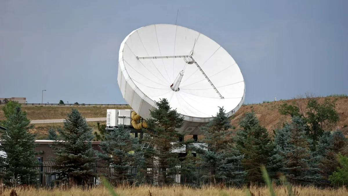
As changing climatic conditions spawn more erratic and intense weather phenomena, state-of-the-art storm tracking remains the frontline defense for communities nationwide.