
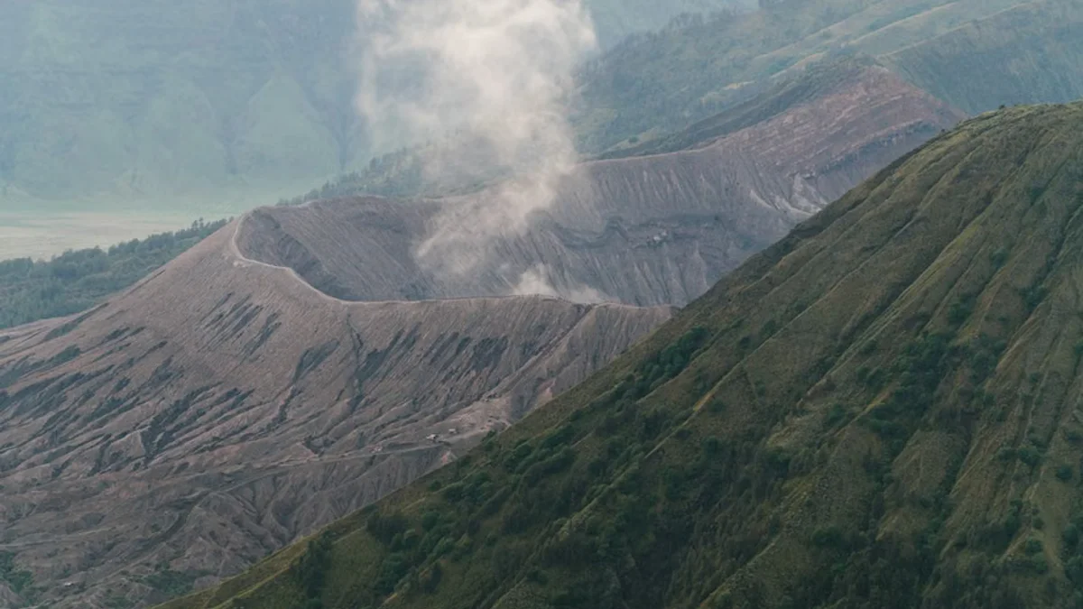
International scientific organizations are maintaining heightened surveillance over the Kamchatka Peninsula following a series of significant seismic events and volcanic unrest. Known as one of the most volcanically active regions on Earth, Kamchatka's complex tectonic setting—where the Pacific and North American plates converge—makes it a focal point for geological research.
Global monitoring networks, including satellite-based radar interferometry and ground-based sensor arrays, are tracking ash plumes, magma displacement, and tectonic tremors in real time. While remote population centers face immediate protective measures, international research teams emphasize the broader scientific significance of these eruptions for understanding deep-Earth geodynamics.

Aviation authorities across the Pacific rim have issued precautionary advisories to reroute commercial flight corridors, mitigating risks associated with volcanic ash ingestion in jet engines. Historical data demonstrates that Kamchatka eruptions can project particulates into the stratosphere, occasionally exerting measurable temporary impacts on atmospheric circulation patterns.
Environmental policy experts and disaster management agencies utilize these ongoing events to refine early-warning infrastructure and cross-border emergency communication channels. As geological volatility persists, the global scientific community remains unified in analyzing incoming telemetry to safeguard regional populations and aviation safety.
Key Highlights
- Intense seismic and volcanic activity recorded in Russia's Kamchatka Peninsula.
- Global vulcanology networks utilize advanced satellite telemetry for real-time tracking.
- Aviation authorities issue precautionary flight advisories across Pacific routes.

Continuous data collection will be essential for anticipating future tectonic shifts in this highly unstable global zone.